By Rachel Adams, @longtrailrunning
PERFECT TRAIL RUNS IN CHITTENDEN COUNTY
One of the best things about the Burlington area is having access to loads of trail systems and natural areas. Whether you are in the mood for a quick beginner-friendly loop, challenging mountain route, or something in between - you can find it nearby!
While this is by no means an exhaustive list, we've pulled together twelve perfect trail running destinations within a zero to thirty-minute drive of downtown Burlington. Happy trails!
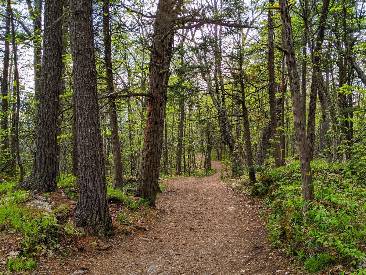
1) RED ROCKS LOOP
Located just south of Burlington, Red Rocks Park offers 2.5 miles of forested trails and several excellent lake views. Well-kept, wide trails make this an excellent location for beginner trail runners. Minutes from downtown Burlington, Red Rocks is popular with runners, hikers, and dog walkers before or after work.
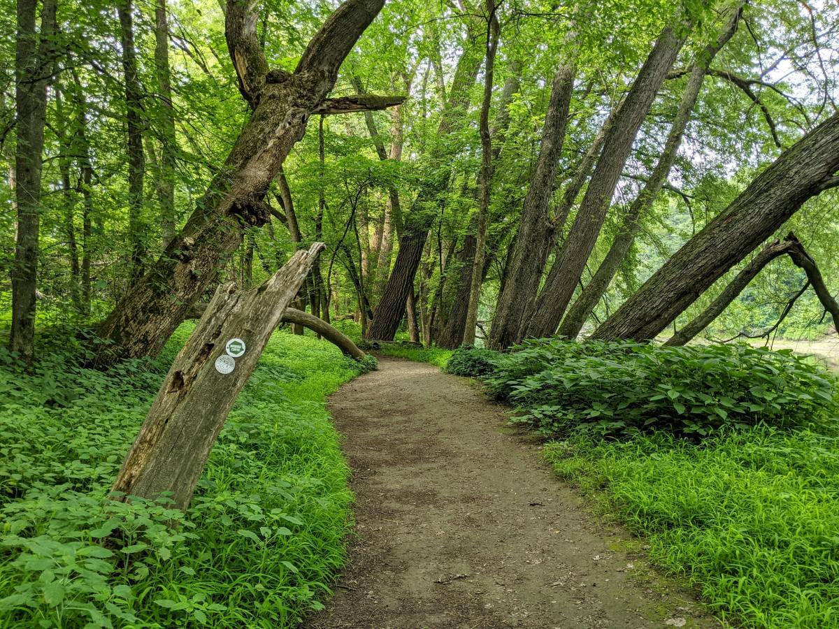
2) BURLINGTON WILDWAYS
The Burlington Wildways trail system includes Salmon Hole, The Intervale, and Ethan Allen Park. The wildway system follows the Winooski River, winding through flood plains, forests, and fields. Combining the Intervale Trails, part of Ethan Allen and Route 127 Bike Path makes a perfect "hybrid" trail/pavement 10k loop - or tack on an extra 1-2 miles by adding Salmon Hole. Keep your eyes peeled for migratory birds and native plants on these trails!

3) ROCK POINT TRAILS
Just north of the Burlington Waterfront is one of the area's hidden gems. Rock Point is a natural area managed by the local Episcopal Diocese. This privately-owned land has two miles of trails open to the public for hiking, running, and leashed dog walking. Well-maintained trails marked with blue blazes follow the shoreline, offering some of the best lake views in Burlington. Tip: this is an excellent location for sunset! While there is no public swimming at Rock Point, you can take a dip at nearby North Beach to cool off after your run.
Please check the website for trail maps, a trail pass (free) or to make a donation to support these trails: https://www.rockpointvt.org/
4) ARMS FOREST
Across the bike path from Rock Point is a lightly-used system of forested trails. Arms Forest is nestled between North Ave, Burlington High School, and the bike path. You can enjoy roughly two miles of flat, forested trails in this peaceful location. For a longer run, link Arms Forest to the nearby Rock Point or Ethan Allen trails. Please note: some trails are currently closed for construction (scheduled completion September 2021) - please be mindful of any closure signs
5) SUNNY HOLLOW
Just over the Winooski-Colchester Border, Sunny Hollow is an ideal location for getting some trail time after work. Explore 3 miles of forested trails within Sunny Hollow, or link the trails to nearby Gilbrook Park for a longer route. The terrain covers several plateaus and ravines, resulting in relatively short but steep climbs. Trails are maintained by the local mountain biking chapter, Fellowship of the Wheel (FOTW). Please check their website for trail conditions, maps or to make a donation to support these trails.

6) MUD POND
Just an exit down I-89 in Williston, Mud Pond's winding trails and peaceful forests are something out of a fairy tale. This multi-use trail system is traveled year-round by mountain bikers, hikers, runners, and cross-country skiers. With three miles of singletrack, this is a great place to practice your technical trail running without major elevation gain. This trail system can also be linked with several other nearby spots (Five Tree Hill, Sucker Brook) for a longer route. Note: these trails cross private land. Please stay on marked trails and park only in designated areas to preserve access. Mud Pond is also managed by Fellowship of the Wheel.

7) COLCHESTER POND
A short 20-minute drive from Burlington, Colchester Pond features a well-marked three-mile trail over rolling hills. The loop includes forests, water views, meadows, and marsh boardwalks. In addition to hikers and runners, this is a popular location for paddling and ice fishing!

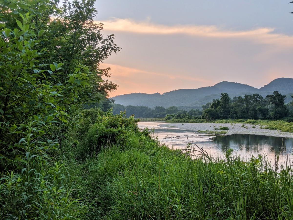
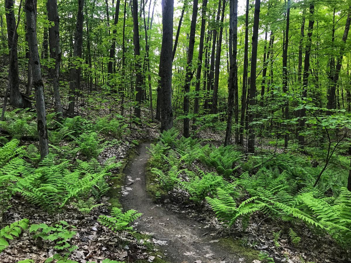
8) RICHMOND RIVER TRAIL
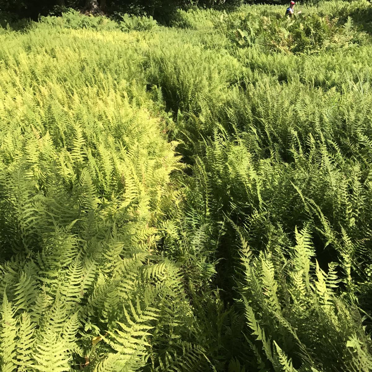
Part fern jungle, part waterfront, Richmond's Rivershore trail is perfect if you are in the mood for a flat and forested run. You'll traverse shoulder-high ferns, peek-a-boo river views, and open meadows. The trail is approximately 3 miles each way (pops out onto Cochran Road for a short section) and is an out-and-back route. Richmond has many trail systems (see the map linked below), offering endless possibilities if you're looking for a longer route. Cochran's Ski Area offers convenient parking and the option to add in some hilly miles.
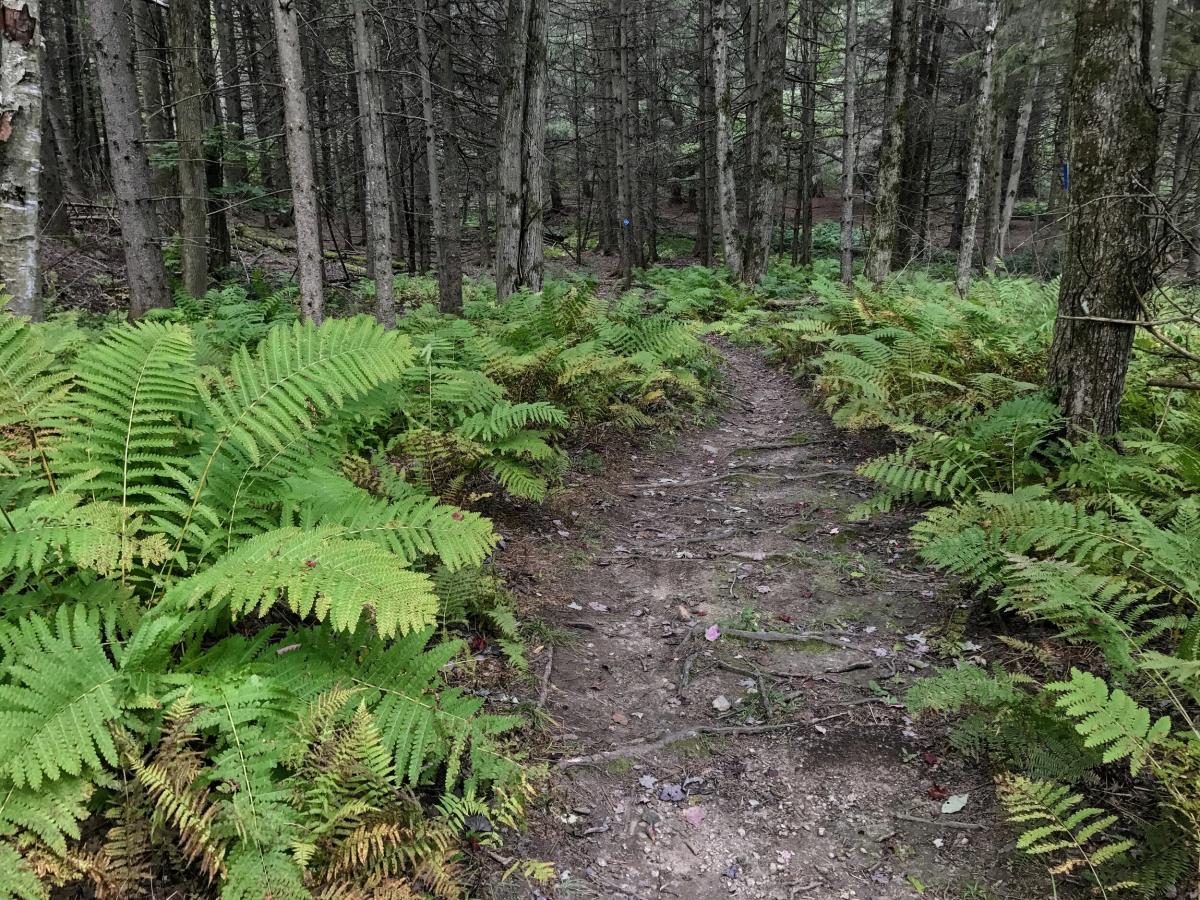
9) COCHRANS IN RICHMOND
Does it get more "Vermont" than running up a ski hill, through fern-filled forests, and dodging maple tap lines? The trails at Cochran's offer all of that, along with a heavy dose of hill training. This network of mountain bike trails (maintained by Richmond Mountain Trails) is open for multi-use. For an intermediate option, check out the popular Preston Loop trail. For some significant climbing, take Mother's Day/AC-DC up the big hill to the top of Jimmy Cliff, then use the Connector trail back to their A-Day, or the Preston Loop/Merritt Parkway. Tip: using an app like Trail Forks (download maps ahead of time in case of limited cell service) can help navigate these trails.

10) SLEEPY HOLLOW
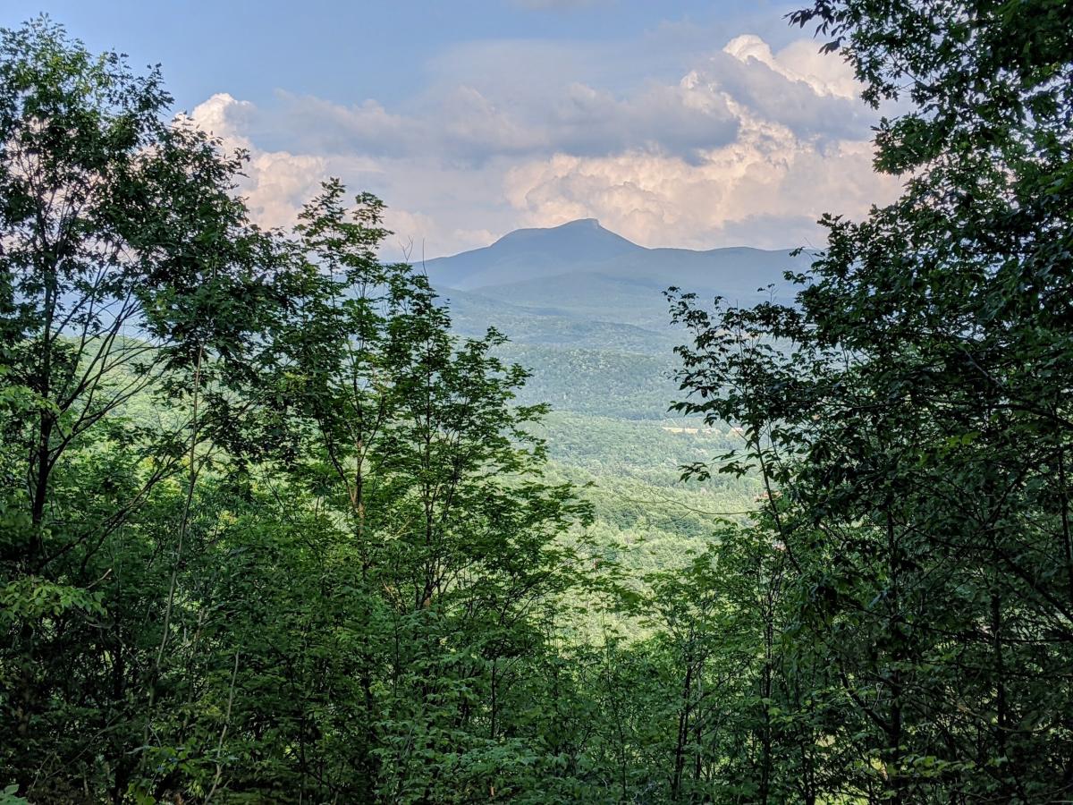
Nestled in the hills of nearby Huntington, Sleepy Hollow has roughly 30 miles of trails for running, mountain biking, and cross-country skiing. If that's not enough for you, these trails can be linked with nearby Hinesburg Town Forest and Carse. Recommend including a climb up to Butternut Cabin on your route to take in the view of Camel's Hump. Trail maps are available at the kiosk or on the Trail Forks app. A trail use fee ($4 pass for hikers/runners) is required. These trails are managed by Fellowship of the Wheel (free use for all FOTW members).
11) HINESBURG TOWN FOREST
If you are looking to brush up your technical trail running skills, it's hard to beat Hinesburg Town Forest. This trail network has 18-miles of rooty, rocky singletrack. Located between Sleepy Hollow and Carse, it can also be linked with those trail systems for much longer routes (check out the 27-mile "Fellowship Trilogy" route on Trail Forks!). Recommend that runners avoid Sheep Thrills (extremely steep downhill mountain bike route). These trails are open to bikers, hikers, and seasonal hunting (get your blaze orange out in fall), with limited routes for ATV and equestrians. Thanks to Fellowship of the Wheel for maintaining this network.
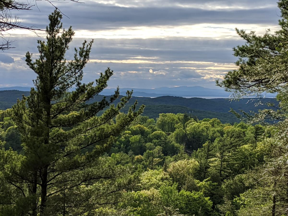
12) BOLTON VALLEY
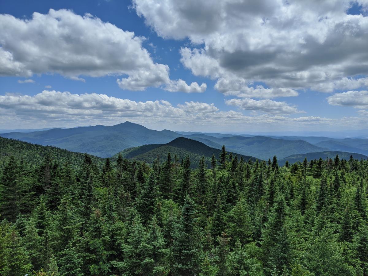
Wait... isn't that a ski resort?! Bolton Valley is truly an all-season destination, welcoming mountain bikers, hikers, and runners to its beautiful trails in the summer. After parking at the main lodge, follow a white-blazed 5k loop starting at the Sports Center for rolling hills - or get some serious uphill training by taking the haul road to Vista Peak (~1.5 miles each way, 1000’+ elevation gain). Bonus: enjoy panoramic views of the Green Mountains from the Lookout Tower! Bolton has fantastic options at the base lodge if you work up a hunger (or thirst), including a seasonal creemee window and a Mad Taco outpost! A few safety notes - please do not run or hike on downhill mountain biking trails. If you are bringing your four-legged friend, please note that dogs are only allowed on Timberline Peak.